
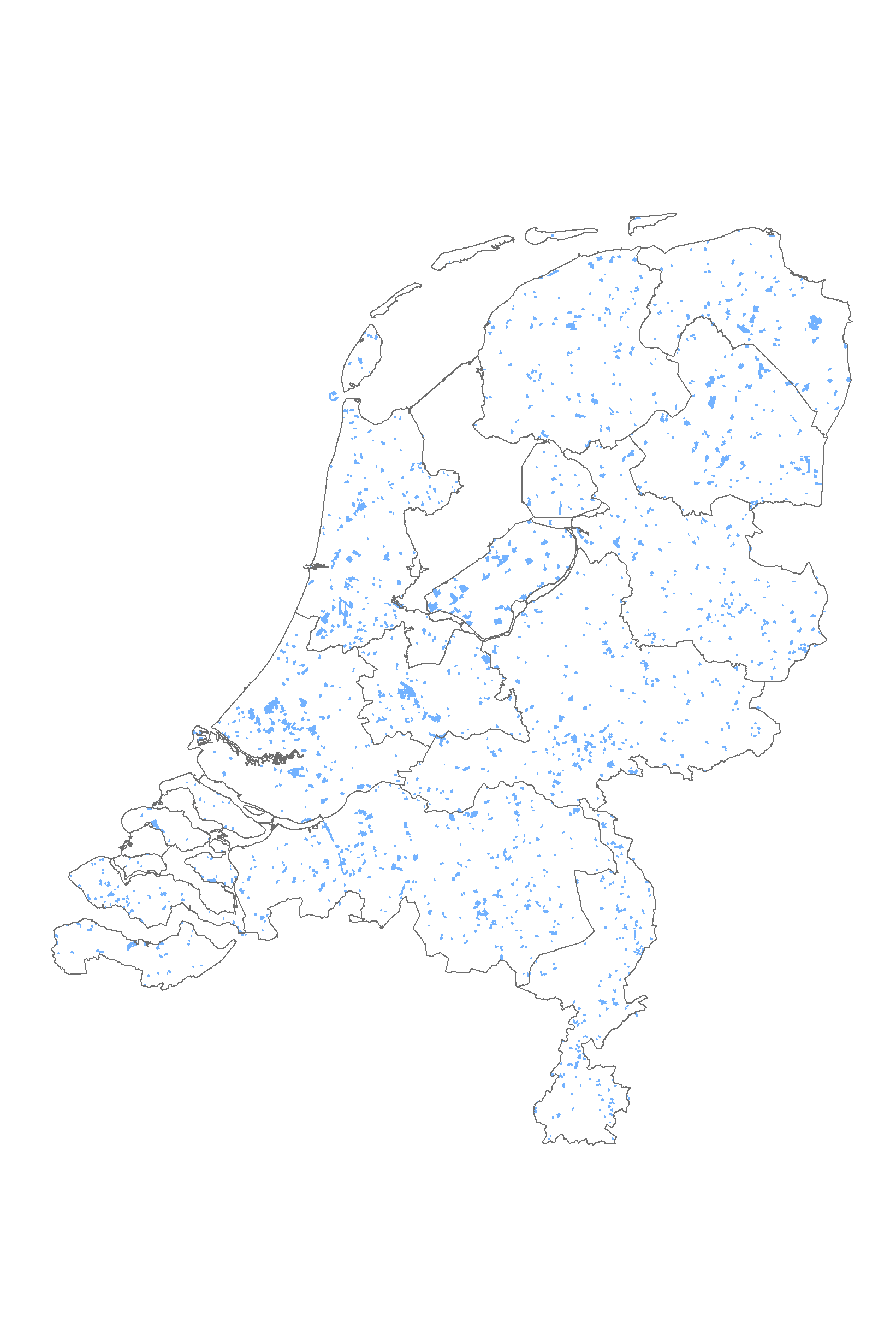
CORINE: Veranderingen in landgebruik in Nederland tussen 2000 en 2006
CORINE Land Cover change (2000-2006) database of the Netherlands
An increasing need for factual and quantitative information on the state of the environment of DG Environment, DG Agriculture and other users initiated a proposal of the EEA to collaborate with the European Space Agency (ESA) and the European Commission (EC) on the implementation of a fast track service on land monitoring. The project focused on on timely, quality assured data, in particular in land cover and land use related issues for 2006-2008. The CLC2006 project is part of the GMES Fast Track Service Precursor (FTSP) Land Monitoring. In CLC2006 38 countries with total area of 5.8 Mkm2 are participating (32 EEA member states and 6 collaborating countries).
2. Thunnissen, H.A.M. and Middelaar, H.J. van, 1995. The CORINE Land Cover database of the Netherlands. Final report of the CORINE Land Cover project in the Netherlands. Report 78. Alterra, the Netherlands
3.EEA and ETC-TE, 2002. CORINE Land Cover update I&CLC2000 project. Technical Guidelines. Final Version. EEA, Denmark
Standard
dataIdentificatie
- Title
-
CORINE: Veranderingen in landgebruik in Nederland tussen 2000 en 2006
- Date (Revision)
- 2008-02-27
- Unique resource identifier
- 7fdca464-e563-4a91-a46d-7d03ac15a9fc
- Status
- Completed
- Metadata language
-
dut
-
GEMET - Themes, version 2.4
-
-
Landgebruik
-
Orthobeeldvorming
-
Satellietbeeld
-
- Use limitation
-
Bronvermelding
- Use limitation
-
a) not to use the data for commercial purposes;
b) to acknowledge the source of the data in all publications and applications;
c) to help improve the quality of the data by noting and reporting any errors or omissions discovered;
d) to help improve the quality of the Data Service by giving feed back on functionalities and data packaging the data provided;
e) to help improve the co-ordinated use of data by informing EEA staff about applications which use data from the Data Service;
f) to help improve the efficiency of environmental reporting by supplying the EEA with documented digital copies of data and information derived from EEA data so that it can be re-used by the Agency with reference to the source;
g) to supply the EEA with a copy of /URL to all publications and other products based on the datasets;
- Access constraints
- Intellectual property rights
Legal constraints
- Access constraints
- Other restrictions
- Other constraints
-
Copyrighthouder: Wageningen Environmental Research, EEA
Security constraints
- Point of contact
-
individualName organisationName electronicMailAddress role EEA
EEA- European Environment Agency
Owner Gerard Hazeu
Wageningen Environmental Research
Owner
))
DataQuality
- Hierarchy level
- Dataset
Metadata
- Metadata language
-
dut
- Hierarchy level
- Dataset
- Metadata author
-
individualName organisationName electronicMailAddress role GeoDesk
Wageningen Environmental Research
Author
)))
