
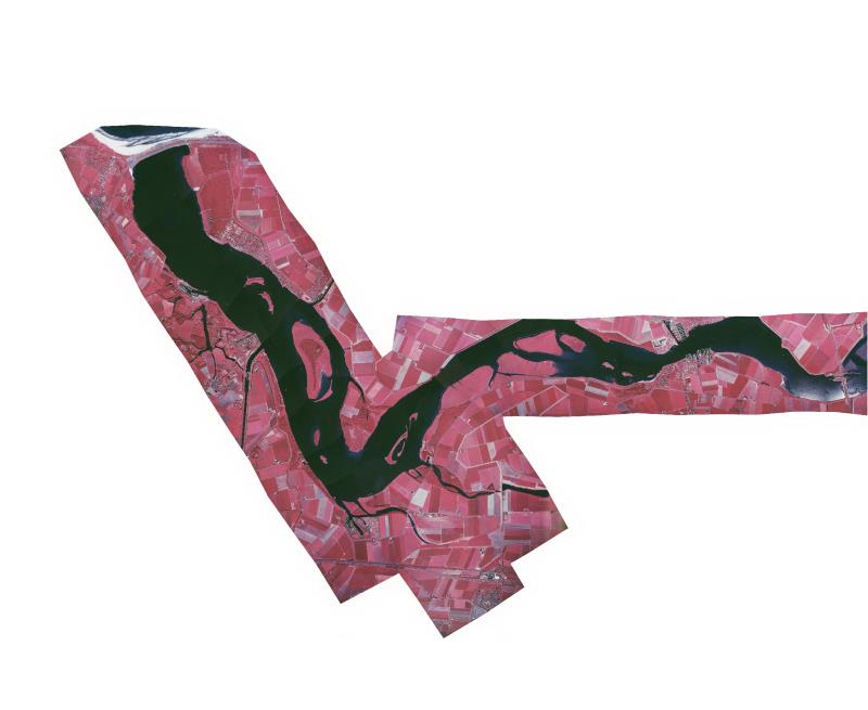
Orthofotomozaiek Veerse Meer 2005
Infrarood orthofoto voor vegetatie kartering
Standard
dataIdentificatie
- Title
-
Orthofotomozaiek Veerse Meer 2005
- Date (Creation)
- 2025-12-04
- Date (None)
- 2005-12-31
- Unique resource identifier
- 7f5fe144-3f81-47f4-a199-b1d7fa77a5be
- Status
- Completed
- Metadata language
- Nederlands; Vlaams
- Keywords
-
- Use limitation
-
Geen beperkingen
Legal constraints
- Use limitation
-
Geen beperkingen
- Access constraints
- Other restrictions
- Use constraints
- Other restrictions
- Other constraints
- Geen beperkingen
Security constraints
- Classification
- None
- Point of contact
-
individualName organisationName electronicMailAddress role Servicedesk Data
Rijkswaterstaat
https://www.rijkswaterstaat.nl/formulieren/contactformulier-servicedesk-data
None
spatialInfo
N
S
E
W
))
- Distance
- 5 meters
- referenceSystemIdentifier
- RD_New
- referenceSystemIdentifier
- NAP
DataQuality
- Hierarchy level
- Dataset
- Lineage
-
Gemaakt door Centraal Bureau voor de Statistiek op basis van luchtfoto's.
Metadata
- Metadata language
- Nederlands; Vlaams
- Hierarchy level
- Dataset
- Metadata author
-
individualName organisationName electronicMailAddress role Servicedesk Data
Rijkswaterstaat
https://www.rijkswaterstaat.nl/formulieren/contactformulier-servicedesk-data
None
)))
