
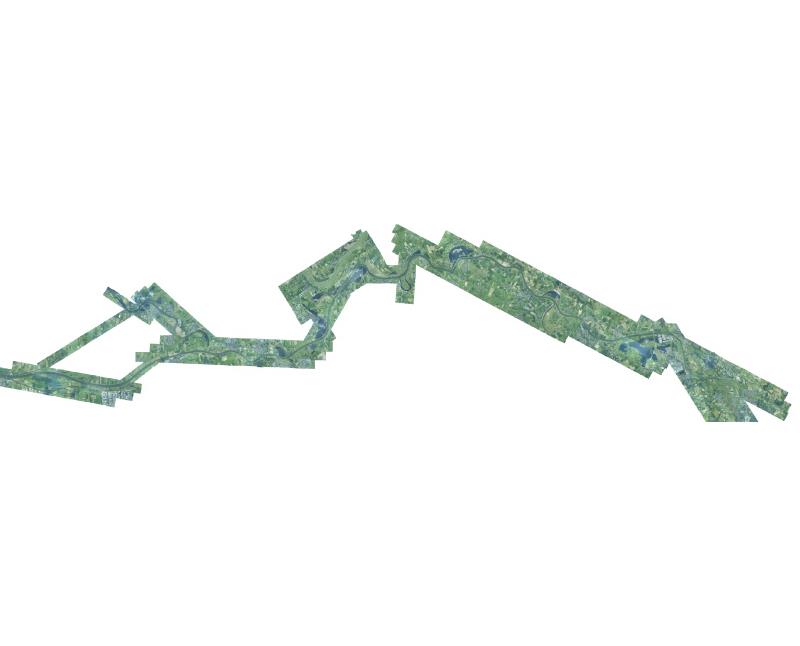
Orthofotomozaiek Maas 2021 deel 1
Orthofotomozaiek maas 2021 vervaardigd uit luchtfoto's opgenomen tijdens LIDAR opname t.b.v. vastlegging hoogte.
Standard
dataIdentificatie
- Title
-
Orthofotomozaiek Maas 2021 deel 1
- Date (Creation)
- 2021-10-01
- Unique resource identifier
- dd1e555e-79c5-43ad-a656-72000d3faa45
- Status
- Completed
- Metadata language
- Nederlands; Vlaams
- Keywords
-
- Use limitation
-
Geen beperkingen
Legal constraints
- Use limitation
-
Geen beperkingen
- Access constraints
- Other restrictions
- Use constraints
- Other restrictions
- Other constraints
- Geen beperkingen
Security constraints
- Classification
- Unclassified
- Point of contact
-
individualName organisationName electronicMailAddress role Servicedesk Data
Rijkswaterstaat
https://www.rijkswaterstaat.nl/formulieren/contactformulier-servicedesk-data
Owner
spatialInfo
N
S
E
W
))
- Distance
- 0.5 meters
- referenceSystemIdentifier
- RD_New
- referenceSystemIdentifier
- NAP
DataQuality
- Hierarchy level
- Dataset
- Lineage
-
Luchtfoto's gemaakt tijdens LIDAD vlucht om hoogtegegevens in te winnen en uitgewerkt tot orthofotomozaiek
Metadata
- Metadata language
- Nederlands; Vlaams
- Hierarchy level
- Dataset
- Metadata author
-
individualName organisationName electronicMailAddress role Servicedesk Data
Rijkswaterstaat
https://www.rijkswaterstaat.nl/formulieren/contactformulier-servicedesk-data
Point of contact
)))
